Dec 15: Snow Map for Today
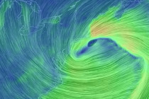
Click here to see full resolution snow map! Discussion: A strong 250mb jet streak is howling from W to E over the OBX area. 500mb height anomalies are below average over the E US as several weak shortwaves couple up
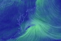
Discussion: About the only thing worth discussing this weekend is a coastal disturbance. The low should form off OBX Friday AM and track SE of the 40N/70W benchmark out-to-sea through Friday night/early Saturday AM. The flow is progressive (a quick
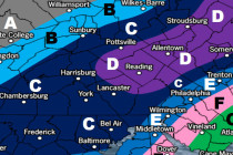
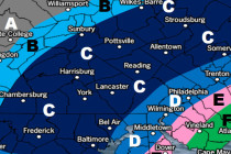
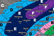
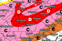
Click here to see full resolution snow map! Map Notes: Please see below. Area A could still see some coatings in that area, especially for the southern PA and northern DE counties. Some model disagreement for those areas, but most
Discussion: A few upper-level shortwaves will be syncing up within a broader longwave trough. This trough is expected to swing through our area this week. The upper level dynamics will no doubt produce a surface disturbance but such should stay
Click here to see full resolution snow map! Discussion: The 250mb jet streak over our region continues to impress for this event. This should help enhance frontogenic forcing/lifting below at the 700mb level which translates to heavier snow rates at
Discussion: A low pressure system will track just offshore near the benchmark with about a 990-995mb intensity. This should be enough to throw wintry precipitation off the ocean all the way into PA with NJ seeing the jackpot of accumulations.
Click here to view full resolution snow map! Discussion: The biggest trends I’ve seen over the last few days are timing, strength and NW-precipitation extent. This is now a Saturday event. Flurries could possibly begin late Friday night but the
Discussion: Let’s talk about the first frontal passage real quick. Precipitation is likely just ahead and along the cold front this evening into tomorrow morning. I’m expecting most of this precipitation to fall as rain overnight however the last part
Discussion: Monday and the first part of Tuesday should feature milder conditions with SW flow ahead of the cold front. The cold front itself should bring a period of moderate to possibly heavy (at times) rainfall Tuesday PM into Wednesday
It’s time to harness the WeatherTrends360 proprietary weather algorithms to see how the rest of December 2017 should play out. But first lets break New Jersey into proper climatological regions. We have the higher elevations of NNJ/NWNJ, the interior coastal plain (SWNJ through CNJ and