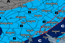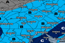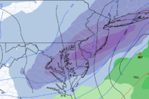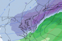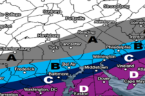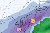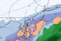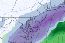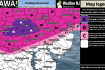
Ice Approaching NNJ/NWNJ
Discussion: Icy conditions are possible NW of the NJTP/I-95 corridor Sunday morning…after a cold overnight tonight directly under high pressure. A low pressure system pretty far N in Canada will team up with return flow behind the departing high and