Aug 24: Cristobal? More like Misstobal!

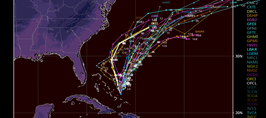
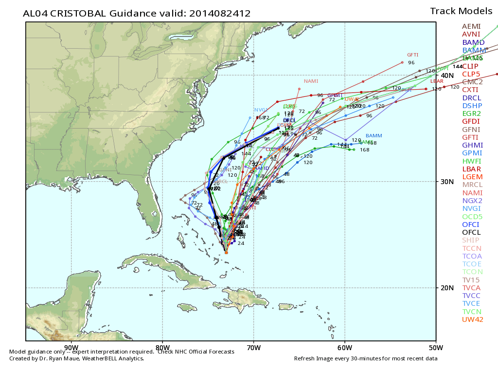
Short range guidance has converged on an out to sea miss solution for Cristobal. This means that the NE upper-level trough will have more influence over its track than the high-pressure S ridge. Currently Cristobal is heading NW, just NW of Turks and Caicos Islands. He will head towards OBX for a bit before turning NE and paralleling the east coast. At this point, Bermuda needs to monitor this situation closely. Here’s the latest tropical model plot from WeatherBell Analytics:
Cristobal is expected to become quite strong so intensified surf along the beaches mid-week is pretty much a given. Listen to your authorities and respect the lifeguards with regard to swimming conditions! I’ll have a Monday-Friday outlook posted this evening. Be safe and enjoy the rest of your weekend. JC
Jonathan Carr (JC) is the founder and sole operator of Weather NJ, New Jersey’s largest independent weather reporting agency. Since 2010, Jonathan has provided weather safety discussion and forecasting services for New Jersey and surrounding areas through the web and social media. Originally branded as Severe NJ Weather (before 2014), Weather NJ is proud to bring you accurate and responsible forecast discussion ahead of high-stakes weather scenarios that impact this great garden state of ours. All Weather. All New Jersey.™ Be safe! JC


