Here’s what to expect for tomorrow’s rain and thunderstorms…
Disco: A strong low pressure system will develop over the next 24-48 hours. It is currently over Missouri and should track towards the Great Lakes before transferring to the Delaware Valley of PA. From there it should lift into NY state and ultimately into SE Canada. The low is modeled to achieve a sub-990mb intensity when passing just to the NW of New Jersey. This basically buzz-saws New Jersey with the warmer SE quadrant of the overall synoptic system between early Thursday morning and late-Thursday afternoon. We should first encounter a warm front overnight (early Thursday AM hours) and then a near-immediate cold front just afterwards (Thursday afternoon/early evening). Both fronts carry the chance of moderate-to-heavy rainfall and possibly severe thunderstorms.
You might hear about this system today as it impacts the SE US. The best dynamics should pass to the S of New Jersey tomorrow. We’re sort of on the northern extent of these dynamics. Also there is a lot of marine air around which should help stabilize the environment. With that said, I still think we’re in for heavy rain, high winds and embedded boomers but severe criteria might be difficult to achieve. SNJ and CNJ would have a better chance at achieving severe criteria thunderstorms than NNJ.
The bigger story overall IMO is the heavy rainfall and high wind potential. A 987mb low should generate sustained winds of at least 20mph and wind gusts of at least 40mph. Obviously winds will be even higher than that locally should a severe thunderstorm come into fruition but higher winds are expected widespread. Most of these winds should be out of our S/SW until the cold front moves through later tomorrow. Then we should see near-equal strong winds out of the NW but precipitation will be shut-off by that time. As far as rainfall goes, here’s our expected amounts between late tonight and tomorrow evening with most occurring between early Tuesday AM and Tuesday afternoon:
Please click here to view full-resolution rain map.
In English: Moderate-to-heavy rainfall is expected between early Thursday morning and late-Thursday afternoon. Expected rainfall amounts are indicated on the above impact map. Given the storm track, coastal flooding is less of a concern but isolated instances of flash flooding are on the table statewide (better chance for NNJ than SNJ). Strong winds and thunderstorms should accompany this system. The jury is still out on how severe the thunderstorms become. SNJ has a better chance of meeting severe criteria than NNJ but all of New Jersey should at least expect rain, wind and at least a few embedded boomers. I wouldn’t be surprised to see the sun try to poke through here and there tomorrow (before, between and after the frontal passages) but most of the day should be cloudy, rainy and stormy.
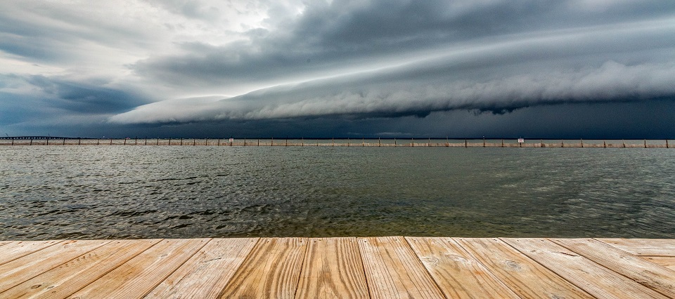
I took the above storm shot last year from the bay beach park in Surf City, NJ (Long Beach Island). Please be safe! JC
Jonathan Carr (JC) is the founder and sole operator of Weather NJ, New Jersey’s largest independent weather reporting agency. Since 2010, Jonathan has provided weather safety discussion and forecasting services for New Jersey and surrounding areas through the web and social media. Originally branded as Severe NJ Weather (before 2014), Weather NJ is proud to bring you accurate and responsible forecast discussion ahead of high-stakes weather scenarios that impact this great garden state of ours. All Weather. All New Jersey.™ Be safe! JC
