April 28: Watching Thursday-Friday for Rain

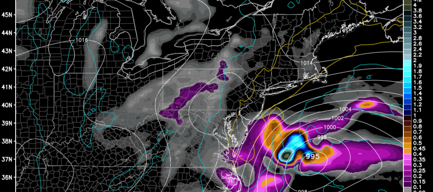
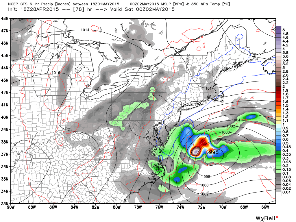
A coastal low pressure disturbance will form in the Gulf of Mexico and slowly track up the east coast between tomorrow and Saturday. Current model guidance suggests a close miss out to sea for the heavier precipitation. Fringe-impacts from the NW side of the storm are still likely however, especially for SENJ. Expect overcast skies, light rain showers, and overall damp conditions in the Thursday-Friday time-frame. The most noticeable feature of the system will likely be wind gusts along the shore. For everyone away from the ocean, a nuisance at most.
Here’s the closest the system gets Friday evening on the GFS:
In English: After a beautiful and mild Wednesday, expect a cloudy and damp Thursday-Friday with light rain possible. SENJ has the best chance for rain showers. Expect gusty winds along the coast but nothing crazier than your run-of-the-mill average coastal disturbance. The good news is that Saturday and Sunday are looking dry. I’ll have the weekend outlook posted on Thursday.
Check out our friends at Mid-Atlantic Waterproofing—serving all of New Jersey and the general Mid-Atlantic US with waterproofing, foundation repair and basement dry-out services. With a rainy spring anticipated, it’s probably not a bad idea to schedule a FREE foundation inspection. Be safe! JC
Jonathan Carr (JC) is the founder and sole operator of Weather NJ, New Jersey’s largest independent weather reporting agency. Since 2010, Jonathan has provided weather safety discussion and forecasting services for New Jersey and surrounding areas through the web and social media. Originally branded as Severe NJ Weather (before 2014), Weather NJ is proud to bring you accurate and responsible forecast discussion ahead of high-stakes weather scenarios that impact this great garden state of ours. All Weather. All New Jersey.™ Be safe! JC


