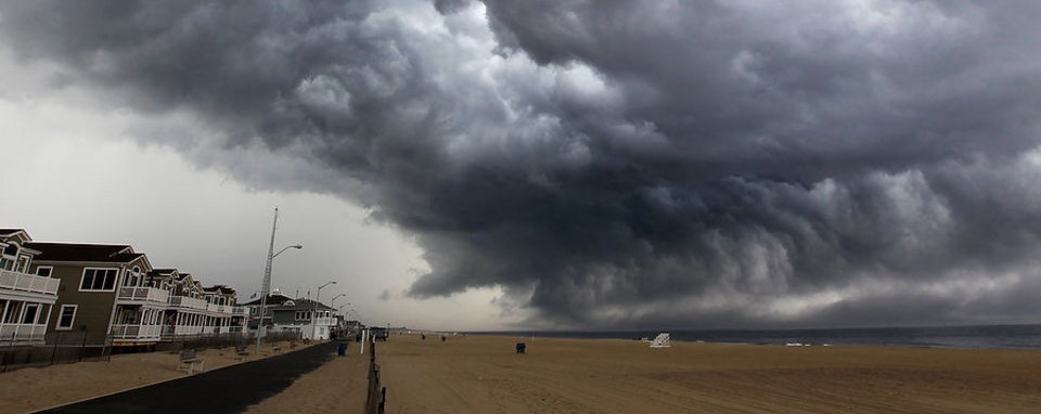
Thunderstorms should move through the region this afternoon/early evening. Like the other night, they will be mostly driven by wind-shear as instability is far from impressive. Expect a 1-2 hour period of heavy downpours, lightning, wind gusts, and possibly hail. The ling-segment of storms should develop through PA and begin impacting western parts of New Jersey around 2-3PM. They should clear the coast by 7PM. So a slight adjustment later in timing from yesterday’s noon-4PM window. Let’s look at some storm vitals:
Surface-based CAPE (SBCAPE) between 4-5PM:
The sun will be diurnally heating the surface ahead of the storms today with elevated humidity. At 600-900j/kg however, instability seems marginal at the surface. At higher levels of the atmosphere, MLCAPE is even less than SBCAPE. The wind dynamics are much more impressive.
1000-500mb Bulk Wind Shear between 5-6PM:
At 40-60kts, bulk wind shear between the surface and about 18,000 feet up is strong. This is what will drive today’s thunderstorms, traditionally resulting in high wind gusts and small hail at the surface. Lightning is usually lackluster with wind-driven storms but the other night it was plenty. With that said the jury is out on lightning frequency and intensity.
Simulated radar between 3-4PM:
Simulated radar between 5-6PM:
Based on simulated radar, a line of storms should move through NJ from W/NW to E/SE between 2PM and 5PM. Another area of convection then fires for SENJ between 5PM and 7PM. By 8PM most areas should be clear with only isolated rain showers lingering until midnight-ish.
In English: Expect heavy rain and thunderstorms to move though New Jersey today from W/NW to E/SE. They should enter NWNJ around 2-3PM and clear the coast/SENJ by 7PM. Breezy-gusty NW winds will follow as a cold front moves in overnight.
Check out our friends at Mid-Atlantic Waterproofing—serving all of New Jersey and the general Mid-Atlantic US with waterproofing, foundation repair and basement dry-out services. With a rainy spring anticipated, it’s probably not a bad idea to schedule a FREE foundation inspection. Be safe! JC
Jonathan Carr (JC) is the founder and sole operator of Weather NJ, New Jersey’s largest independent weather reporting agency. Since 2010, Jonathan has provided weather safety discussion and forecasting services for New Jersey and surrounding areas through the web and social media. Originally branded as Severe NJ Weather (before 2014), Weather NJ is proud to bring you accurate and responsible forecast discussion ahead of high-stakes weather scenarios that impact this great garden state of ours. All Weather. All New Jersey.™ Be safe! JC
