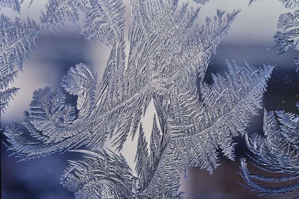
“Listen to the wind blow…watch the sunrise” – The Chain, Fleetwood Mac …That’s the best way I can describe the two cold fronts moving through New Jersey today. One associated with the low that moved through yesterday/overnight and the other moving through today—an Arctic front that will bring bitter cold temperatures to the region this week. Let’s look at each day:
Monday’s high temperatures should reach the mid-30s at most with a mixed bag of sun and fast-moving clouds. Winds will be 10-20mph out of the W/NW which is where the clipper is coming from. Overnight lows will drop into the teens statewide as the Arctic air mass invasion gets underway. There’s a small chance some of the leading clipper precipitation makes it to western parts of New Jersey later this evening but for the most part it should be a Tuesday event.
Tuesday’s highs should fail to escape the 20s as the clipper impacts the entire state. Skies should be overcast with on and off snowfall. Winds will be light out of the W/SW until overnight lows fall back into the teens. As far as snow accumulations go, I’m still leaning with 1-3 inches of snow north of I-195 and C-2″ inches of snow south of I-195. I’ll have a snow map posted later this evening.
Wednesday will be bitter cold with highs in the 20s and strong NW winds. Prepare for wind chills! Expect a mixed bag of sun, clouds, and possibly a few lake-effect flurries and/or squalls. I only mention that because strong cold air will be blowing over the warm Great Lakes in our direction. Expect single digit lows overnight with maybe coastal/SENJ only dropping into the teens.
Thursday looks mostly sunny (a few flat-bottom clouds) with highs in the 20s statewide. I’ll leave the lake-effect flurries/snow squall possibility on the table one more day as winds will remain strong out of the NW. This will re-enforce the Arctic air over our region. Overnight lows should drop back into the teens statewide.
Friday high temperatures should range from upper 20s in NWNJ to mid-30s in SENJ. Skies will be mostly sunny with just a few flat-bottom wind clouds. Winds will remain strong out of the W at 10-20mph. Overnight lows should then fall into the teens again.
An early peak at the weekend indicates more bitter cold for at least Saturday and possibly some wintry precipitation for the Sunday-Monday window. I would’t get excited yet but you know I’ll be tracking!
This Monday-Friday Outlook is proudly sponsored by weathertrends360 (www.weathertrends360.com). Through 150 years of world wide weather data analysis, weathertrends360 has developed proprietary algorithms and methods that predict weather up to a year with 84% accuracy. They are second to none in the long range so check them out for business planning, travel planning, etc.
Be safe and have a great week! JC
Jonathan Carr (JC) is the founder and sole operator of Weather NJ, New Jersey’s largest independent weather reporting agency. Since 2010, Jonathan has provided weather safety discussion and forecasting services for New Jersey and surrounding areas through the web and social media. Originally branded as Severe NJ Weather (before 2014), Weather NJ is proud to bring you accurate and responsible forecast discussion ahead of high-stakes weather scenarios that impact this great garden state of ours. All Weather. All New Jersey.™ Be safe! JC
