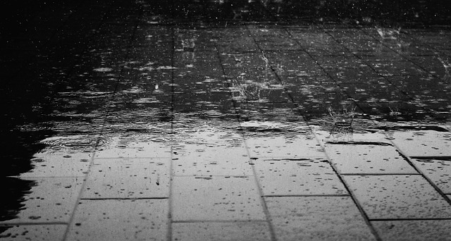
Clouds will gradually fill in today as rain pushes through the region tonight through tomorrow night. With any luck, the weekend wraps up dry and mild. Let’s break it down:
Friday should range from mid-40s to lower-50s (NWNJ to SENJ). Clouds will gradually fill in throughout the day with light southerly winds. Rain should start by midnight if not slightly before. Overnight l0ws should then fall to the mid-30s and lower 40s (NWNJ to SENJ) as on-and-off rain showers persist.
Saturday should reach the low to mid 50s for high temperatures. Moderate to heavy rainfall should be on-and-off through at least the afternoon hours but possibly into the early evening. Expect breezy SW winds. Watch out for colorful sunset potential if the clearing times just right (around 7-7:15PM). Overnight lows then fall back into the 30s and 40s.
Sunday highs should top out around 50 with improving conditions. Expect a mixed bag of sun and clouds with gusty NW winds. Let’s allow for a small chance of isolated afternoon Spring showers (feels great to say). Otherwise we’re dry and windy into the overnight as temperatures bottom out in the 30s (upper-20s for NWNJ).
Next week looks to start dry and mild with temperatures in the 50s and possibly lower 60s (SENJ). Temperatures should then moderate down to highs in the 40s and 50s mid-week leading into another possibly rainy weekend. The long range outlook says we hold the slightly below average temp pattern until about the March 24-25th period—at which point we surge back into 50s and 60s to usher in April.
This weekend outlook is proudly sponsored by weathertrends360 (www.weathertrends360.com). Through 150 years of world wide weather data analysis, weathertrends360 has developed proprietary algorithms and methods that predict weather up to a year with 84% accuracy. They are second to none in the long range so check them out for business planning, travel planning, etc.
Be safe and have a great weekend! JC
Jonathan Carr (JC) is the founder and sole operator of Weather NJ, New Jersey’s largest independent weather reporting agency. Since 2010, Jonathan has provided weather safety discussion and forecasting services for New Jersey and surrounding areas through the web and social media. Originally branded as Severe NJ Weather (before 2014), Weather NJ is proud to bring you accurate and responsible forecast discussion ahead of high-stakes weather scenarios that impact this great garden state of ours. All Weather. All New Jersey.™ Be safe! JC
