Unsettled Weekend Expected (April 21-23)

Not a total washout. Some of it looks alright…
Disco: As far as temperatures go, we’re warm-sectored on Friday and cold-slotted on Sunday leaving Saturday as a slightly drier day of transition. Every day of the weekend is subject to at least a small chance of rain and possibly a few rumbles. Friday and Sunday hold a better chance for rain than Saturday. If any thunderstorms are going to go severe, they will likely be isolated and therefore have to be now-casted. I expect most storms that do form to fall below severe-criteria. I will say that SNJ has a better chance for rain and thunderstorms than NNJ especially from the overrunning precipitation from the synoptic system on Sunday. I’m going with “unsettled” because there are several fronts and areas of low pressure floating through. Therefore, expect a complete mixed bag of alternating sun, clouds and rain throughout the weekend. Nothing terribly disruptive. Lot’s of nuisance stuff. Otherwise enjoy the sunny breaks between.
Real Quick, overnight lows tonight should fall into the 50s for most of the state. Thunderstorms are possible before midnight. You can see them approaching on radar. 9 times out of 10 these storm setups fizzle before reaching the coast.
Friday (April 21) high temperatures should reach into the 70s for many. NNJ might stay slightly cooler if the front hang but no cooler than the mid-to-upper 60s. Skies should feature a mix of sun, variable clouds, rain and possibly isolated rumbles. Winds should be light-to-breezy out of the SW. Overnight lows should fall into the 40s for NNJ and 50s for CNJ/SNJ.
Saturday (April 22) high temperatures should reach the upper-50s/lower-60s statewide. Skies should be mixed with sun and clouds. This looks like the driest day of the weekend but still a small chance for an isolated shower. Winds should be light out of the NW. Overnight lows should fall into the 40s for most. NNJ elevations could be looking at frost territory.
Sunday (April 23) high temperatures should reach into the 60s for NNJ and parts of CNJ. SNJ could be held in the 50s. Skies could be very different environments between NNJ and SNJ. NNJ has the best chance of a beautiful sunny spring day. SNJ is subject to clouds and rain. CNJ could go either way but right now I’m leaning towards mostly nice. Winds should be light out of the N for sunny areas and light out of the E for cloudy/rainy SNJ areas. Overnight lows should again fall into the 40s for most with frost potential for NNJ elevations.
An early look at next week indicates mostly dry conditions after the Sunday to possibly Tuesday AM system departs. Temperatures appear to be seasonably average. Let’s take another look Sunday night.
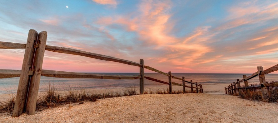
I took the above image last week in Surf City, NJ (Long Beach Island). Everyone have a great weekend and please be safe! JC
Jonathan Carr (JC) is the founder and sole operator of Weather NJ, New Jersey’s largest independent weather reporting agency. Since 2010, Jonathan has provided weather safety discussion and forecasting services for New Jersey and surrounding areas through the web and social media. Originally branded as Severe NJ Weather (before 2014), Weather NJ is proud to bring you accurate and responsible forecast discussion ahead of high-stakes weather scenarios that impact this great garden state of ours. All Weather. All New Jersey.™ Be safe! JC


