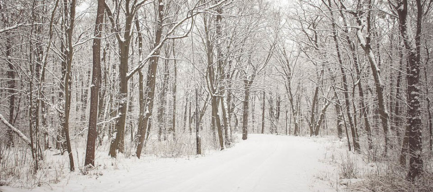
Mar 7: Weekend Snow Discussion

As we continue to approach this weekend rationally and patiently, some trends are evolving…
Wave 1 (Thursday Night into Friday Morning): This represents our most imminent snow threat. It’s basically a weak wave of low pressure riding a frontal boundary through the Mid-Atlantic. This wave’s trajectory is very flat from west to east and therefore uncertainty exists in where (how far north or south) the heaviest lateral swath of snow sets up. Models are still flip-flopping on this between NNJ and SNJ. It will likely be cold enough for NNJ (north of I-195/NE of 95) to see light accumulations that stack up easier on natural surfaces than roads. Even for the jackpot zone of this wave however, I wouldn’t say totals appear significant or major. SNJ could face a warmer surface temperature profile and might just see anything from rain to a non-accumulating snowfall. Perhaps natural surfaces would see a coating to an inch at most. And that’s really all I’m seeing from this first wave. We’ll (Weather NJ + EPAWA) will have an official snow impact map out tomorrow on this but those are my current thoughts.
Wave 2 (Saturday Night into Sunday Morning): This system has trended towards a complete miss to the south mostly due cold air suppression from the north. I’m not sure I’m buying a solution as far south as current guidance but even if it trended northward some, it would struggle to push snow north into New Jersey. Obviously, an official forecast and snow map would not come for a few days…IF it were to trend north towards something of impact again.
Wave 3 (Next Tuesday into Wednesday): This system actually has more of my attention. It is obviously way too soon to issue a forecast for but should wave 2 miss far enough to the south…then it could come up the coast and phase with northern energy into a larger coastal snow event. Obviously what happens with wave 1 and wave 2 will have tremendous impact on the setup for Tuesday-Wednesday so we’ll have to wait and see where we stand later this weekend. Just something I’m watching for fun.
Wrap-up: So tomorrow evening, a snow impact map will be released with expected amounts for Friday. Regardless of where it hits the hardest, it appears to be a light event overall. My Pocket Meteorologist subscribers will be sent hyper-local expectations earlier tomorrow (as soon as we can possibly digest 12Z models and live obs and get it into the text system). For now the weekend monster, that showed up on fantasy-range model guidance over the weekend, appears to be too far south to impact most of New Jersey this Saturday-Sunday. If that trends back to the north I’ll let you know. Otherwise no news is good news and we can then see what happens with the 3rd system next week. I know my words are candy for some and spoiling for others but as always, it’s just what I’m seeing. Have a nice night and please be safe! JC
Jonathan Carr (JC) is the founder and sole operator of Weather NJ, New Jersey’s largest independent weather reporting agency. Since 2010, Jonathan has provided weather safety and forecasting services for New Jersey and immediate surrounding areas through the web and social media. Originally branded as Severe NJ Weather (before 2014), Weather NJ is proud to bring you accurate and responsible discussions ahead of high-stakes weather scenarios that impact the garden state. All Weather. All New Jersey.™


