On Winter’s Doorstep

On Winter’s Doorstep

🕔14:51, 22.Nov 2024

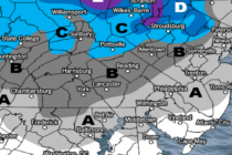
Discussion: Last night into this morning was a solid kick-off for snow season. I know that only NWNJ elevations (especially Sparta through Vernon) saw snow accumulations with the majority of NJ (lower 2/3) just seeing rain with a few flurries/snow

Read Full Article
Snow and Rain Approaching

Snow and Rain Approaching

🕔14:16, 21.Nov 2024

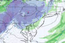
Discussion: The initial rainfall portion of this system fell between last night and this morning. The occluded front was enough to spark some lightning along a linear stormfront before the precipitation flattened out to a broader slug of rain. It

Read Full Article
Snowfall Detected – Tomorrow Night

Snowfall Detected – Tomorrow Night Updated

🕔16:55, 20.Nov 2024

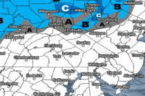
Discussion: First, let’s level some expectations. The snow potential for tomorrow (Thursday) into Friday is not a big deal. Given the time of year and surface temperature profile, it will be hard for significant accumulations to stack up outside of

Read Full Article
Discussing First Snowfall for Some

Discussing First Snowfall for Some

🕔14:23, 18.Nov 2024

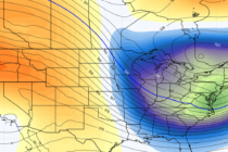
Discussion: I’m not deducing much looking at upper-jet (250mb) winds. Slight deviations in either direction but no buckling. 500mb geopotential height anomalies paint a much better picture. I can see the existing ridge eroding by Wednesday to make way for

Read Full Article
Great Weekend. But Things are Changing.

Great Weekend. But Things are Changing.

🕔15:47, 15.Nov 2024

Discussion: This past Sunday, I began discussing a synoptic storm signal for premium Kaboom Club members. Now that it’s gaining traction, we can discuss it a little more in-detail. Let’s get the boring stuff out of the way first which

Read Full Article
Temps Continue to Roller Coaster

Temps Continue to Roller Coaster

🕔14:21, 8.Nov 2024

Discussion: The upper jet will dip and flatten out into more of a zonal flow this weekend. Geopotential heights, analyzed at 500mb, will correlate with this with a reduction in positive anomalies to near-average. Far from a deep cold trough

Read Full Article
Another Dry Temp Spike

Another Dry Temp Spike

🕔13:37, 4.Nov 2024

Discussion: This week’s weather will continue to fall victim to a persistent ridging pattern. The current ridge is starting to depart which will put NJ under a warmer SW flow for Tues-Wed. On Thursday, the current ridge will handoff to

Read Full Article
Back to Fall for a Minute

Back to Fall for a Minute

🕔13:40, 1.Nov 2024

Discussion: The drought continues to worsen. We’ve had no synoptic rain systems (tropical remnants, nor’easter, coastal low, etc.) and almost every frontal passage (warm or cold) has been mostly dry through NJ. The cold front moving through today (Friday) started

Read Full Article